“Science in the Public Service” – Lecture on “Applications of Remote Sensing Techniques in Slope Safety Management”

03/10/2020

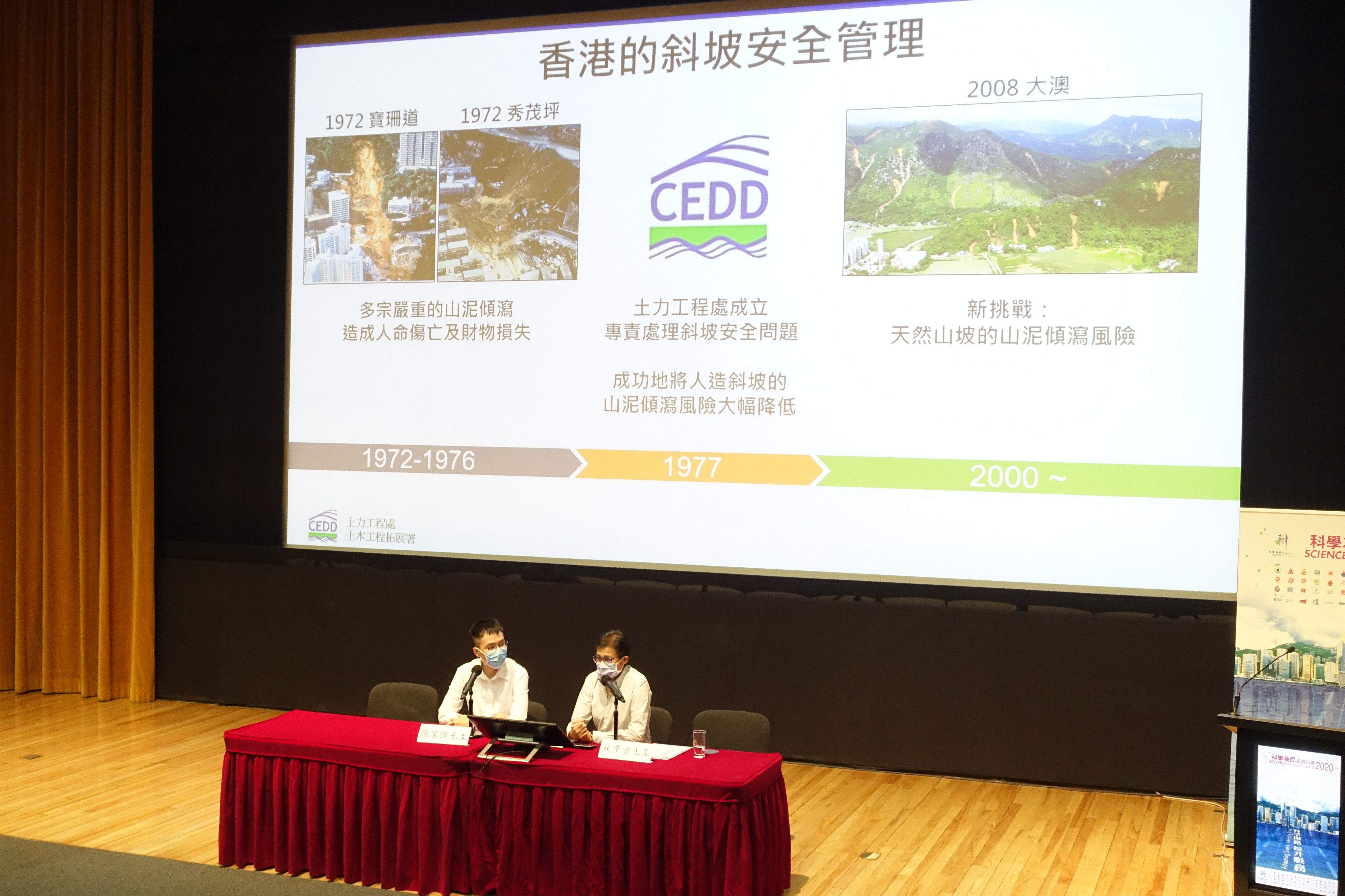
The Geotechnical Engineering Office (GEO) joined a forum at "Science in the Public Service 2020" and introduced various remote sensing techniques, including photogrammetry and LiDAR, and the applications of these remote sensing techniques for studying landslide hazard.

The Geotechnical Engineering Office (GEO) joined a forum at “Science in the Public Service 2020” and introduced various remote sensing techniques, including photogrammetry and LiDAR, and the applications of these remote sensing techniques for studying landslide hazard.
PrevNext
Back