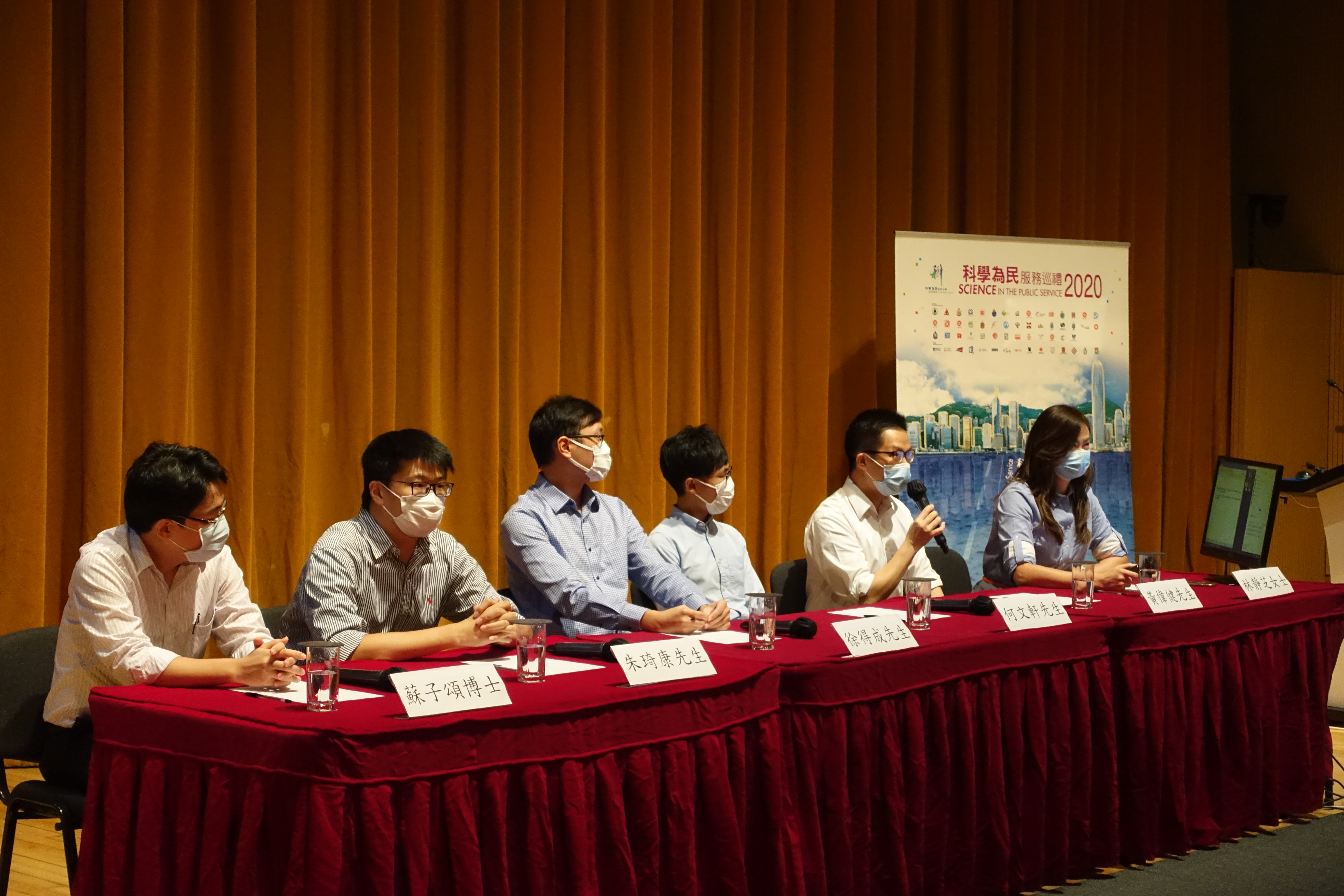
“Science in the Public Service” – Forum on “Application of Innovation and Technology in Monitoring of Rainstorm, Landslide and Coastal Hazards”

30/08/2020

The Civil Engineering Office (CEO) and Geotechnical Engineering Office (GEO) participated the forum on "Application of Innovation and Technology in Monitoring of Rainstorm, Landslide and Coastal Hazards" in the "Science in the Public Service" Forum 2020.

CEO introduced the application of advanced surveying technology (including imaging sonar system, and integrated multibeam echo sounder and laser scanner system) as well as sensor-based monitoring system for the monitoring and analysis of public marine facilities. These technologies could facilitate the assessment of damage to public marine facilities due to extreme ocean events, and the planning for repair works.

GEO introduced the Landslip Warning System and the innovation and technology adopted, including real-time rainfall monitoring and analysis with the use of transducers and internet-of-things technologies, that facilitate real-time assessment of landslide danger, based on real-time rainfall data and forecast, and timely delivery of warning messages to the public.

The Civil Engineering Office (CEO) and Geotechnical Engineering Office (GEO) participated the forum on “Application of Innovation and Technology in Monitoring of Rainstorm, Landslide and Coastal Hazards” in the “Science in the Public Service” Forum 2020.   CEO introduced the application of advanced surveying technology (including imaging sonar system, and integrated multibeam echo sounder and laser scanner system) as well as sensor-based monitoring system for the monitoring and analysis of public marine facilities. These technologies could facilitate the assessment of damage to public marine facilities due to extreme ocean events, and the planning for repair works.   GEO introduced the Landslip Warning System and the innovation and technology adopted, including real-time rainfall monitoring and analysis with the use of transducers and internet-of-things technologies, that facilitate real-time assessment of landslide danger, based on real-time rainfall data and forecast, and timely delivery of warning messages to the public.
PrevNext
Back